Alton, Illinois
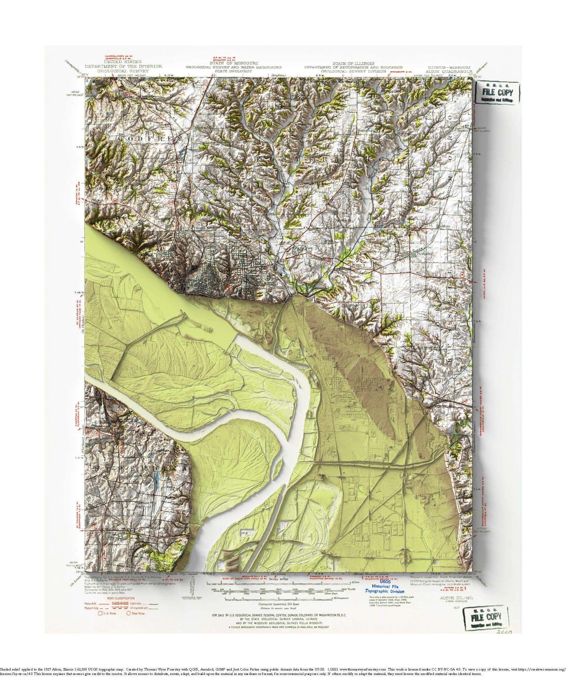
1927 USGS 1:62,500 topographic map with shaded relief in 20″ x 24″ layout. This is part of a series of maps show the major tributaries

1927 USGS 1:62,500 topographic map with shaded relief in 20″ x 24″ layout. This is part of a series of maps show the major tributaries
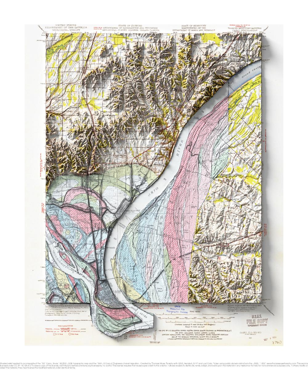
1931 USGS 1:62,500 topographic map with shaded relief in 20″ x 24″ layout. This is part of a series of maps that show the major
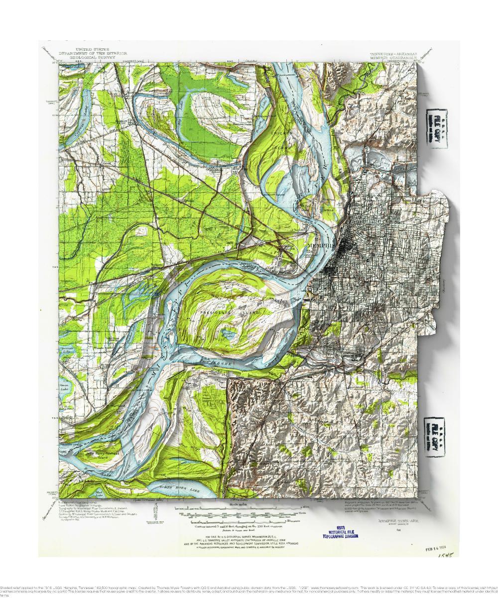
1913 USGS 1:62,500 topographic map with shaded relief in 20″ x 24″ layout. I don’t have a special connection to Memphis, but I remember a

1962 USGS 1:62,500 topographic map with shaded relief in 20″ x 24″ layout. There was an extreme heat advisory when Andrea and I visited the
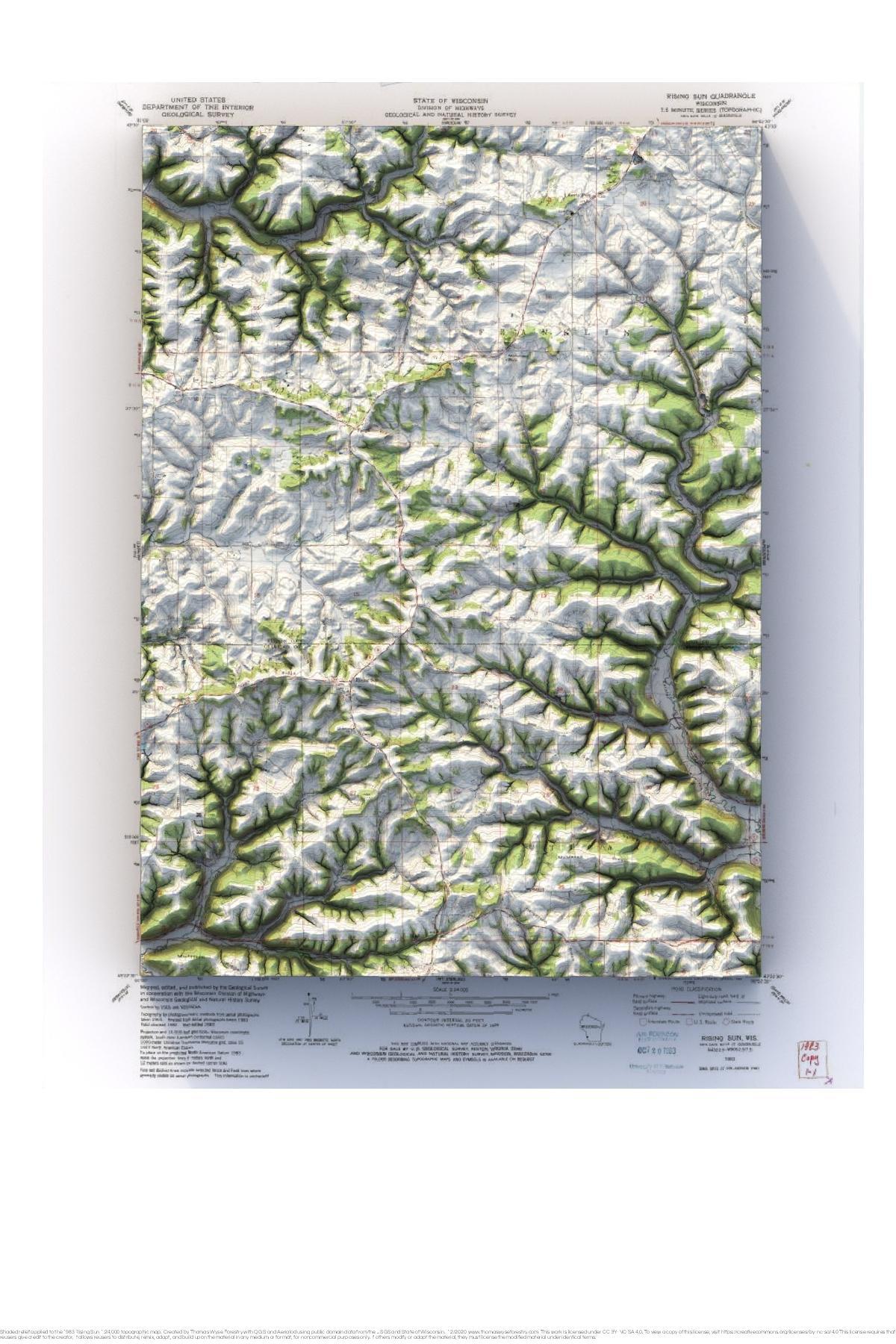
1983 USGS 1:24,000 topographic map with shaded relief in 24″ x 36″ layout.
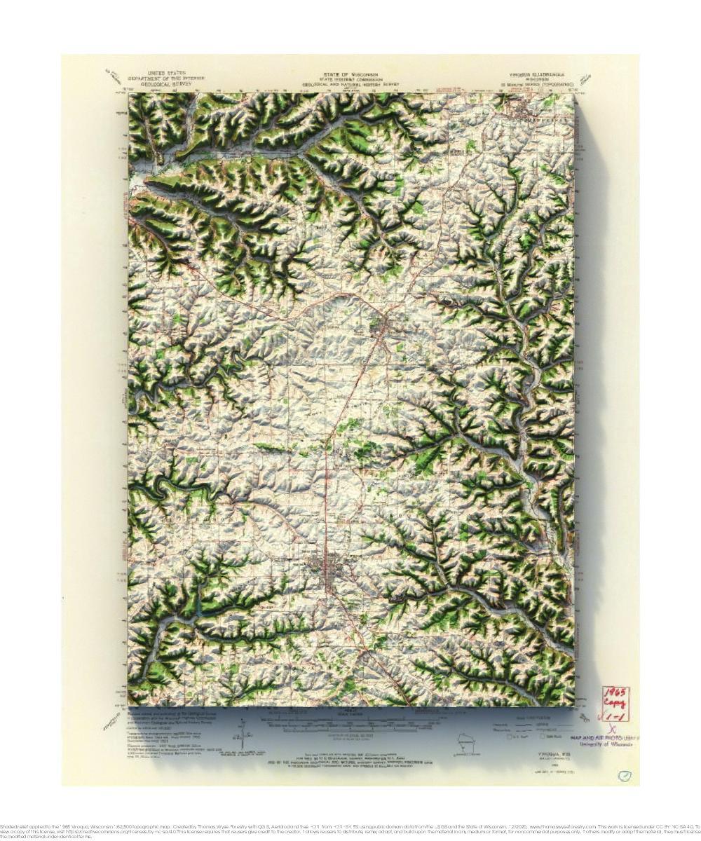
1965 USGS 1:62,500 topographic map with shaded relief in 20″ x 24″ layout.
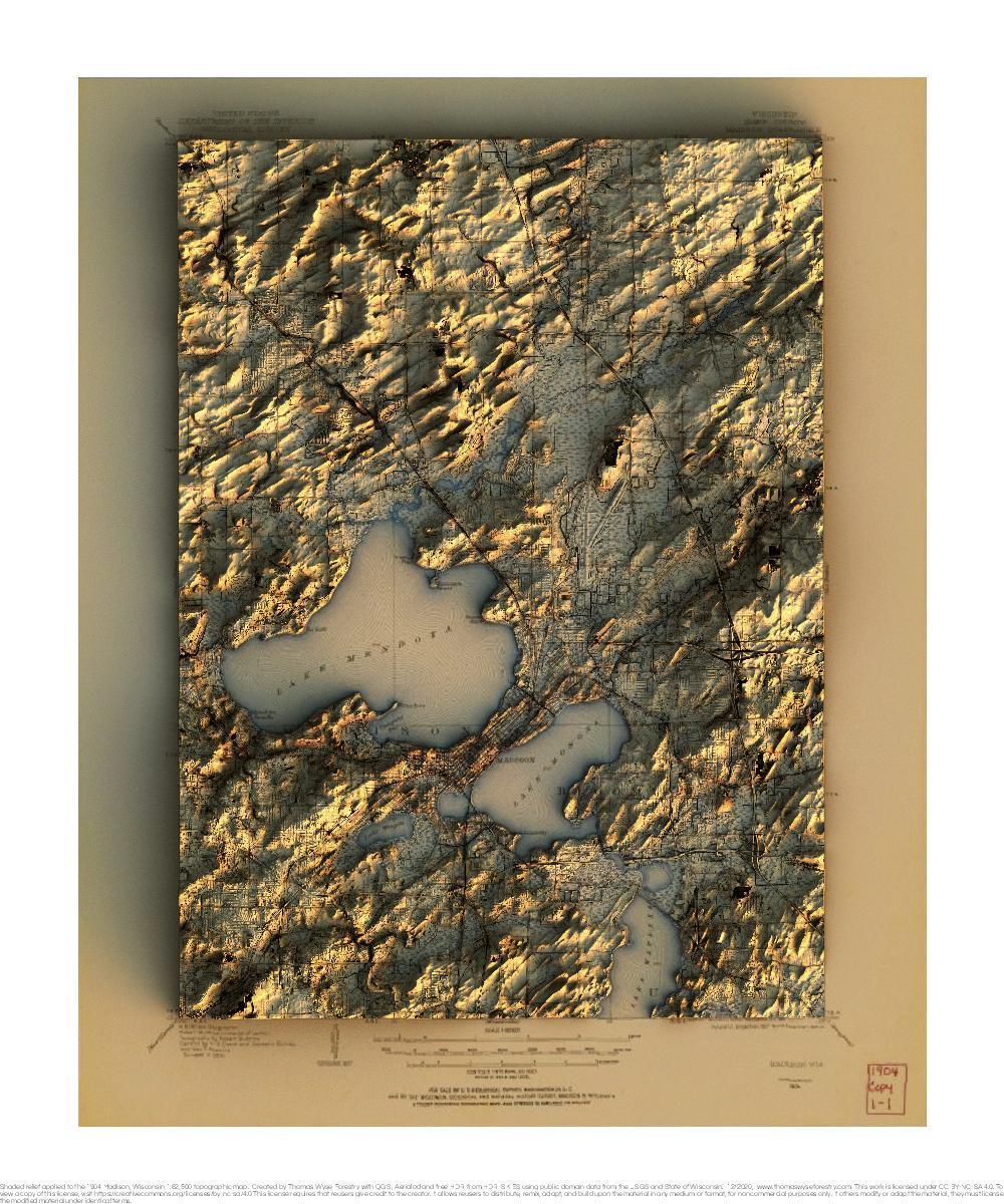
1904 USGS 1:62,500 topographic map with shaded relief in 20″ x 24″ layout. 1959 USGS 1:62,500 topographic map with shaded relief in 20″ x 24″

1991 USGS 1:100,000 topographic map with shaded relief in 24″ x 36″ layout. The scale in the layout is 1:109,200.
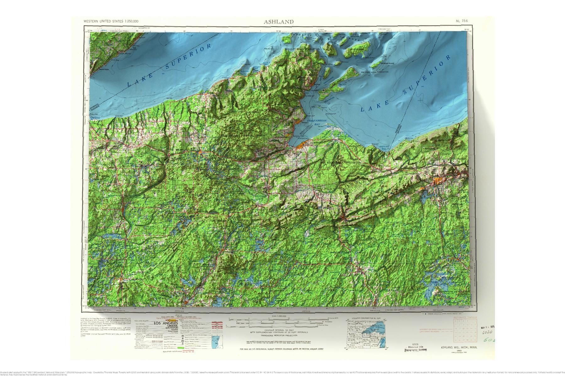
1953 USGS 1:250,000 topographic map with shaded relief in 24″ x 36″ layout.
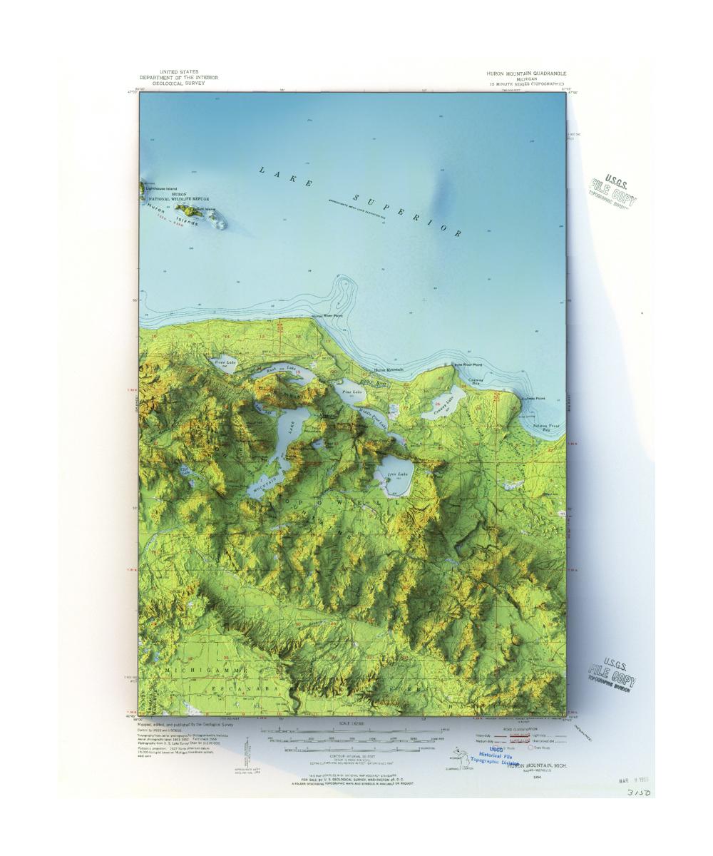
1954 USGS 1:62,500 Huron Mountain, Michigan topographic map with shaded relief in 20″ x 24″ layout.