
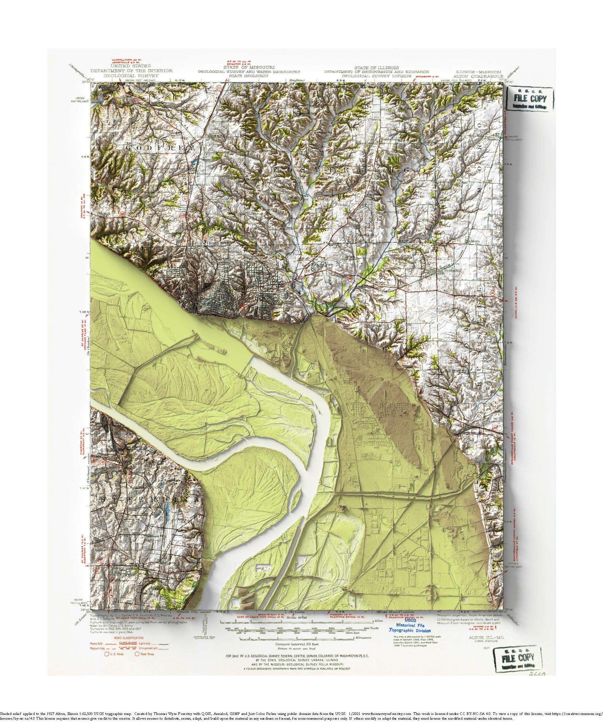
1927 USGS 1:62,500 topographic map with shaded relief in 20″ x 24″ layout.
This is part of a series of maps show the major tributaries of the Mississippi River. This map depicts of the confluence of the Missouri River. The Illinois River joins the Mississippi River just upstream of the Missouri. I never realized how closely these two major rivers enter the Mississippi.
I think that the small pits along the bluffs are historic lead mines, and I think that the rectangular piles in the southern floodplain are stored grain.
I took the floodplain color ramp colors from the map. Sometimes I like them, and sometimes I don’t. The floodplain is shown with a relative elevation model overlain on the rendered elevation.
You can download the map without the color ramp over the map image using the link below.