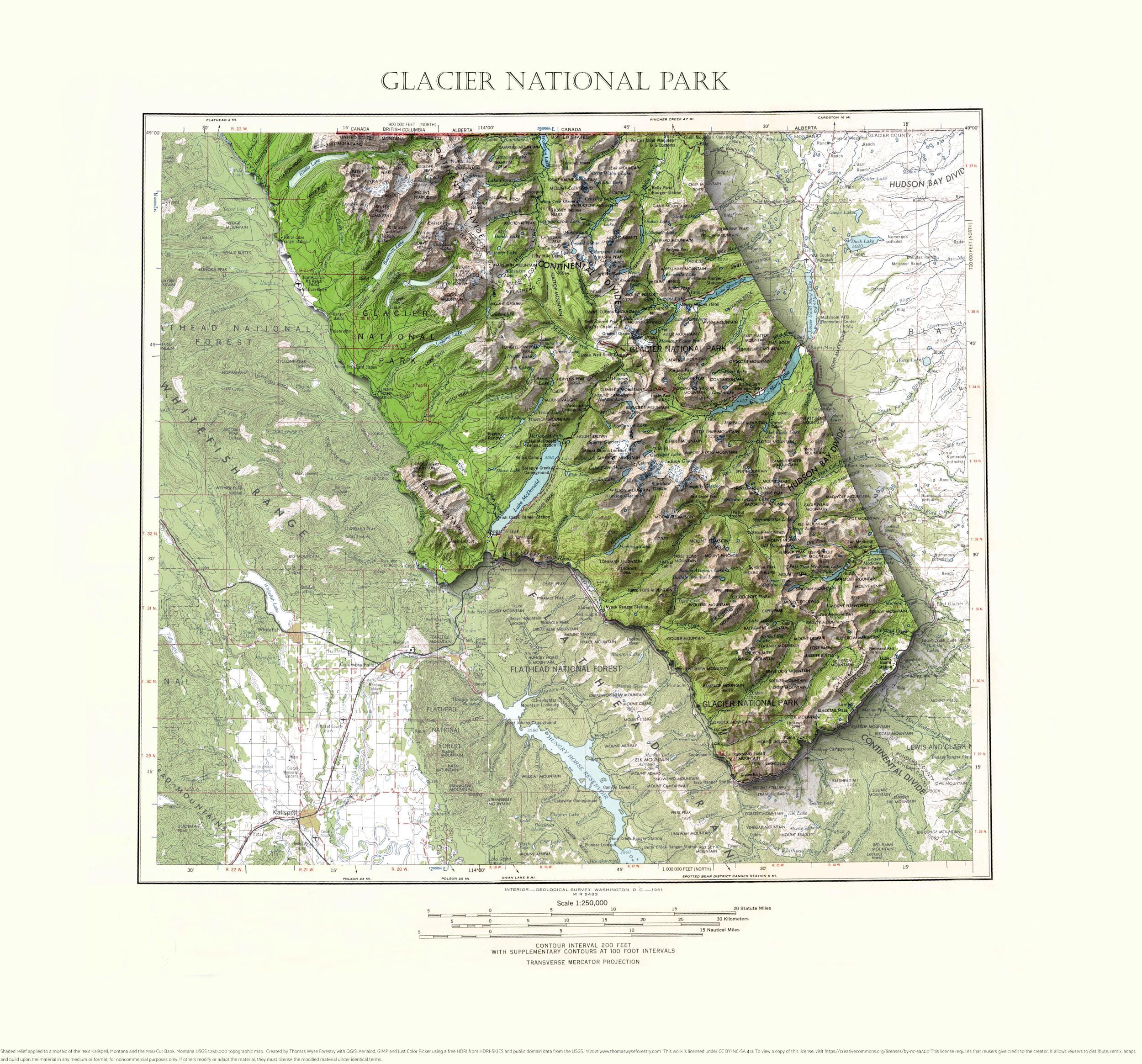
Glacier National Park, Montana
A mosaic of the 1961 Kalispell, Montana and the 1960 Cut Bank Montana 1:250,000 USGS topographic maps with shaded relief highlighting Glacier National Park.

A mosaic of the 1961 Kalispell, Montana and the 1960 Cut Bank Montana 1:250,000 USGS topographic maps with shaded relief highlighting Glacier National Park.

1983 Prairie du Chien, Iowa-Wisconsin and Bridgeport, Wisconsin 1:24,000 map mosaic with shaded relief.
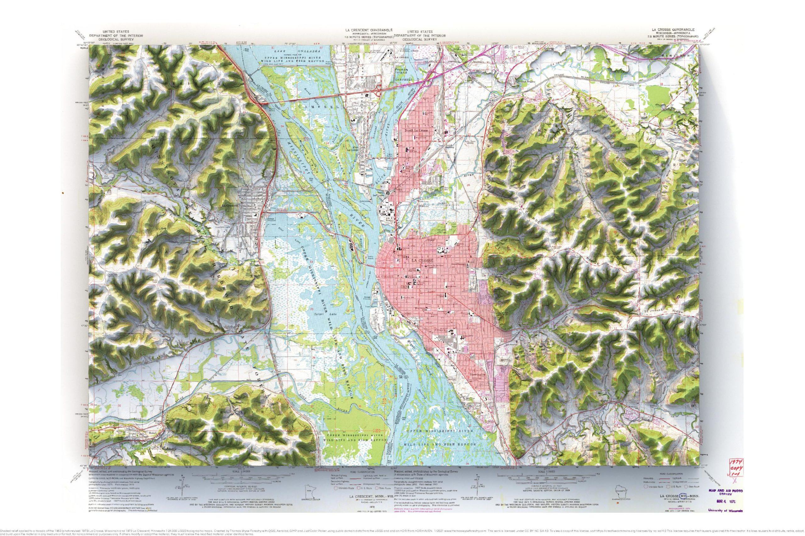
1963 (photorevised 1973) La Crosse and 1973 La Crescent 1:24,000 map with shaded relief.
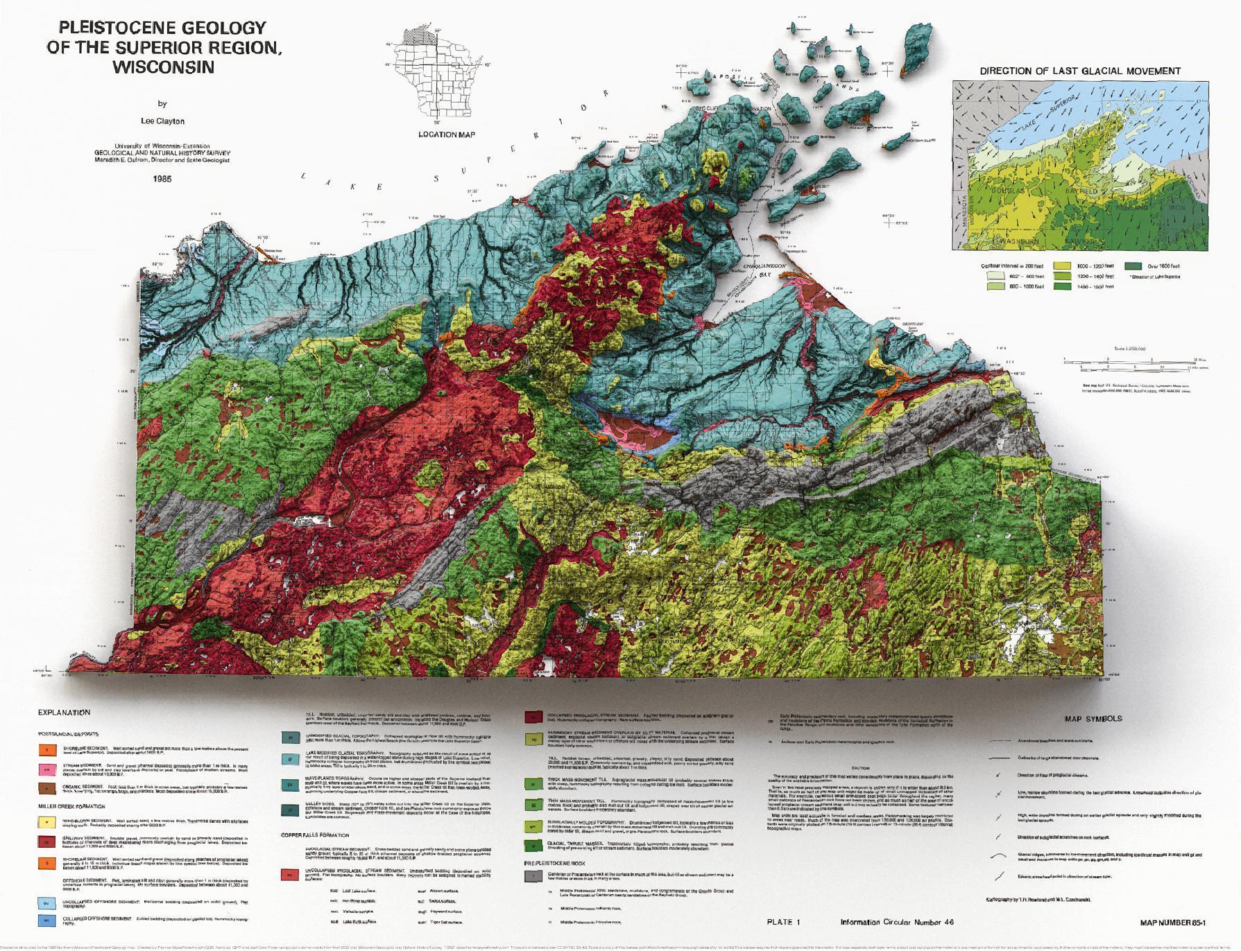
1985 1:250,000 map with shaded relief. This is one of my favorite maps. It was vexingly difficult to show the topography and still allow the
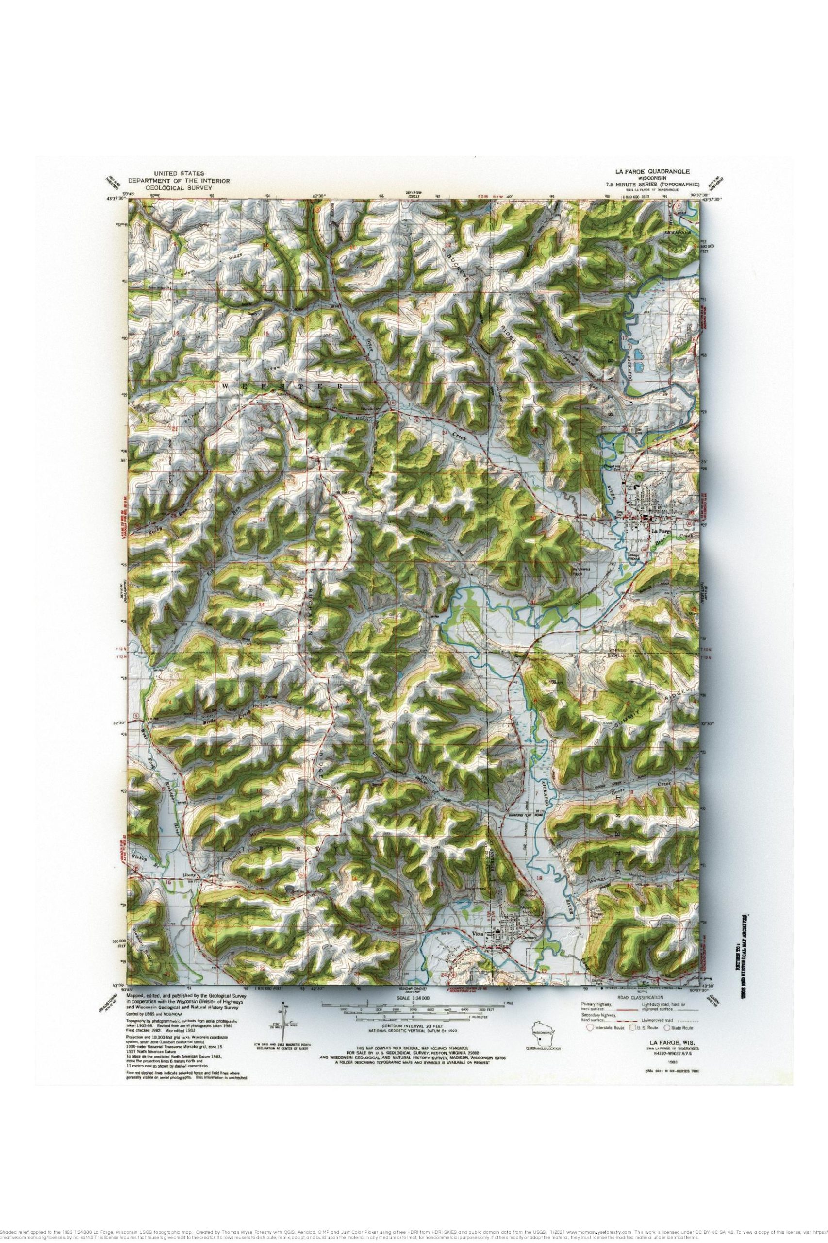
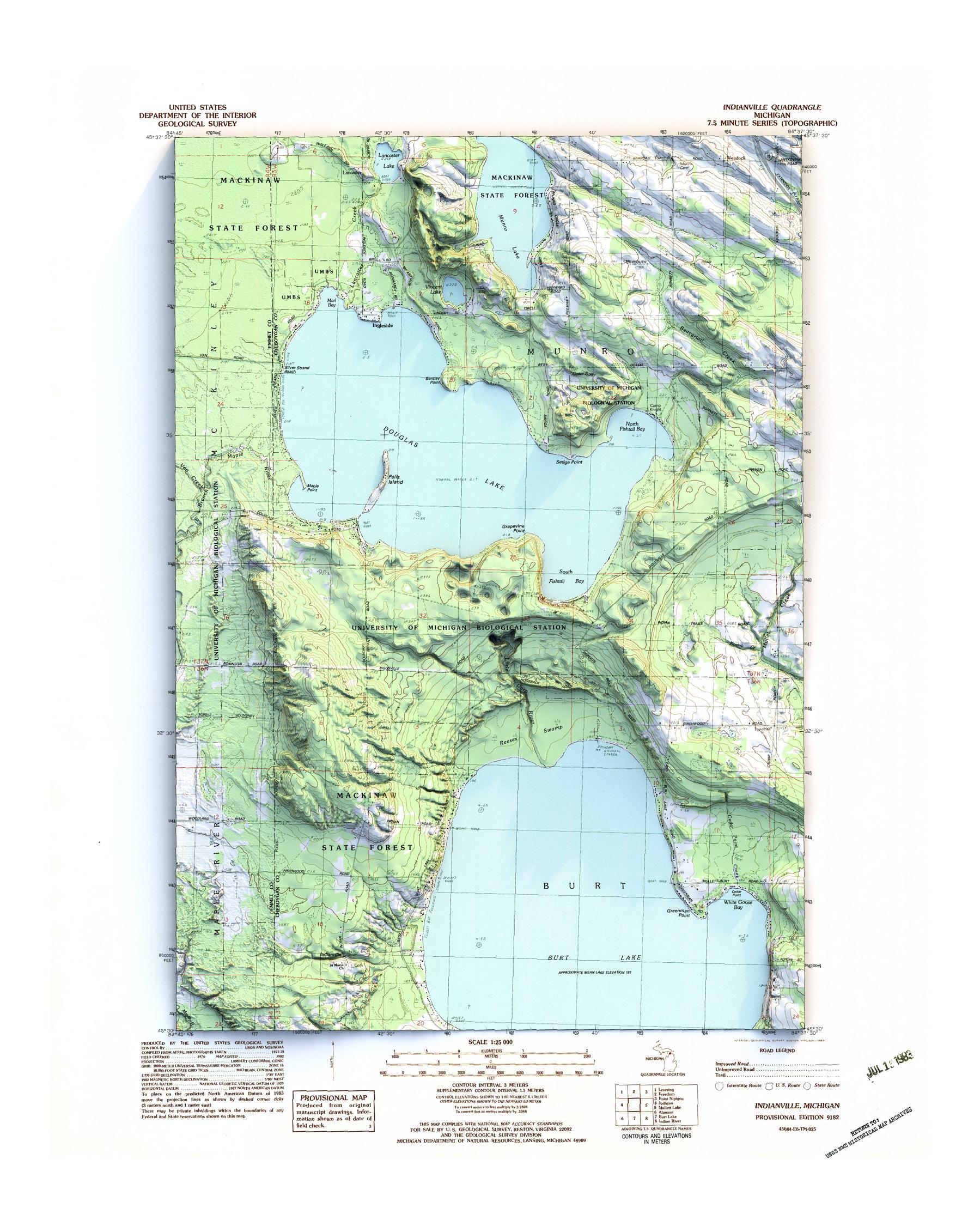
1983 1:24,000 topographic map with shaded relief in 24″ x 36″ layout.

1962 1:63,360 topographic map with shaded relief in 20″ x 24″ layout. A college friend who lives in Juneau called me out of the blue

1983 USGS 1:24,000 topographic map with shaded relief in 24″ x 36″ layout.
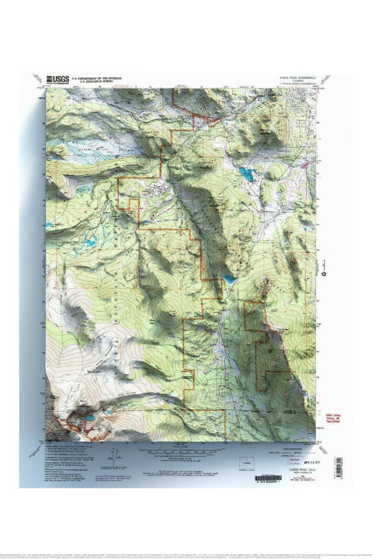
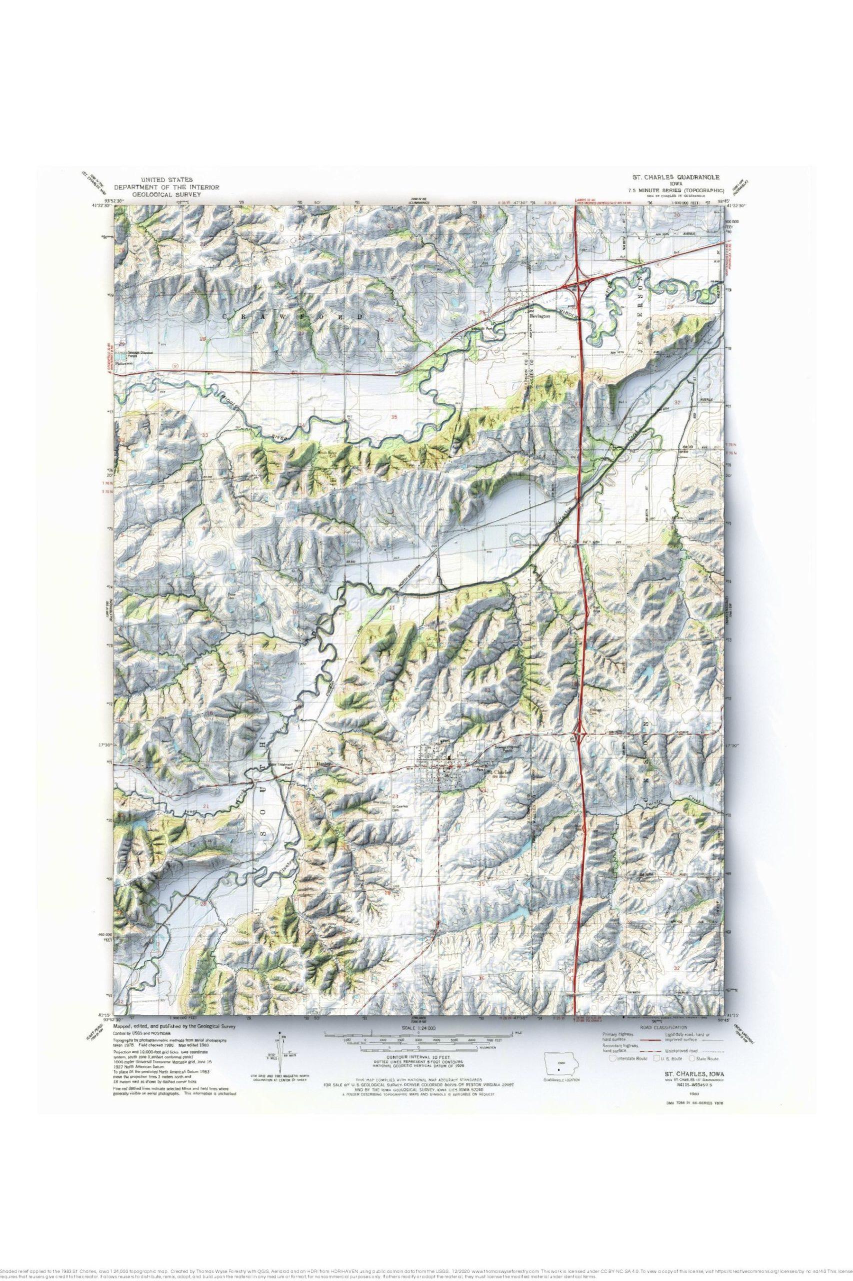
1961 USGS 1:24,000 topographic map with shaded relief in 24″ x 36″ layout. A friend asked me to make this map for him to use