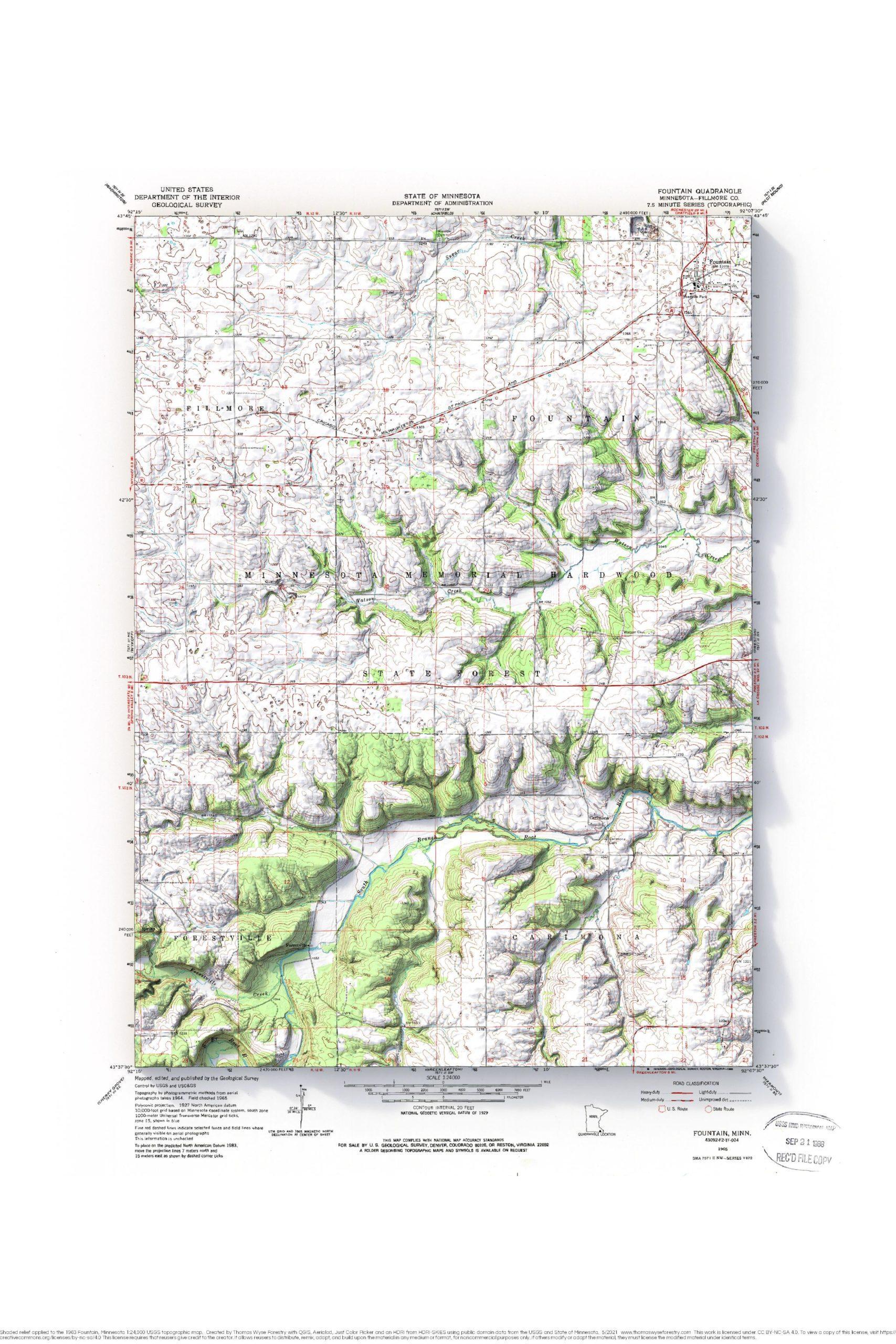
Fountain, Minnesota
1963 Fountain, Minnesota 1:24,000 USGS topographic map with shaded relief.


1963 Fountain, Minnesota 1:24,000 USGS topographic map with shaded relief.
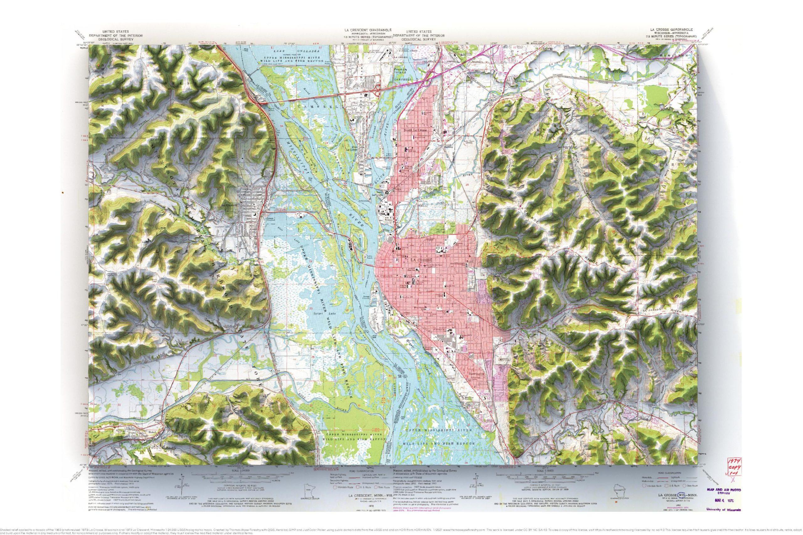
1963 (photorevised 1973) La Crosse and 1973 La Crescent 1:24,000 map with shaded relief.
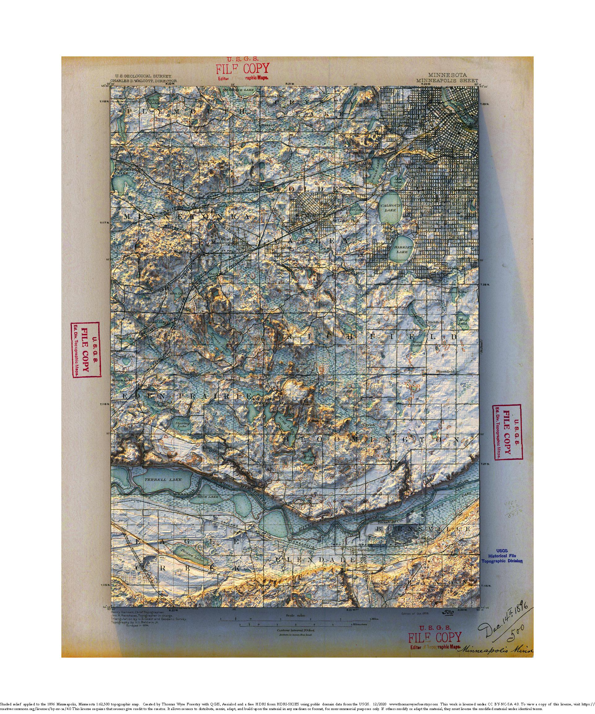
1896 1:62,500 USGS Minneapolis Sheet topographic map with shaded relief in 20″ x 24″ layout.
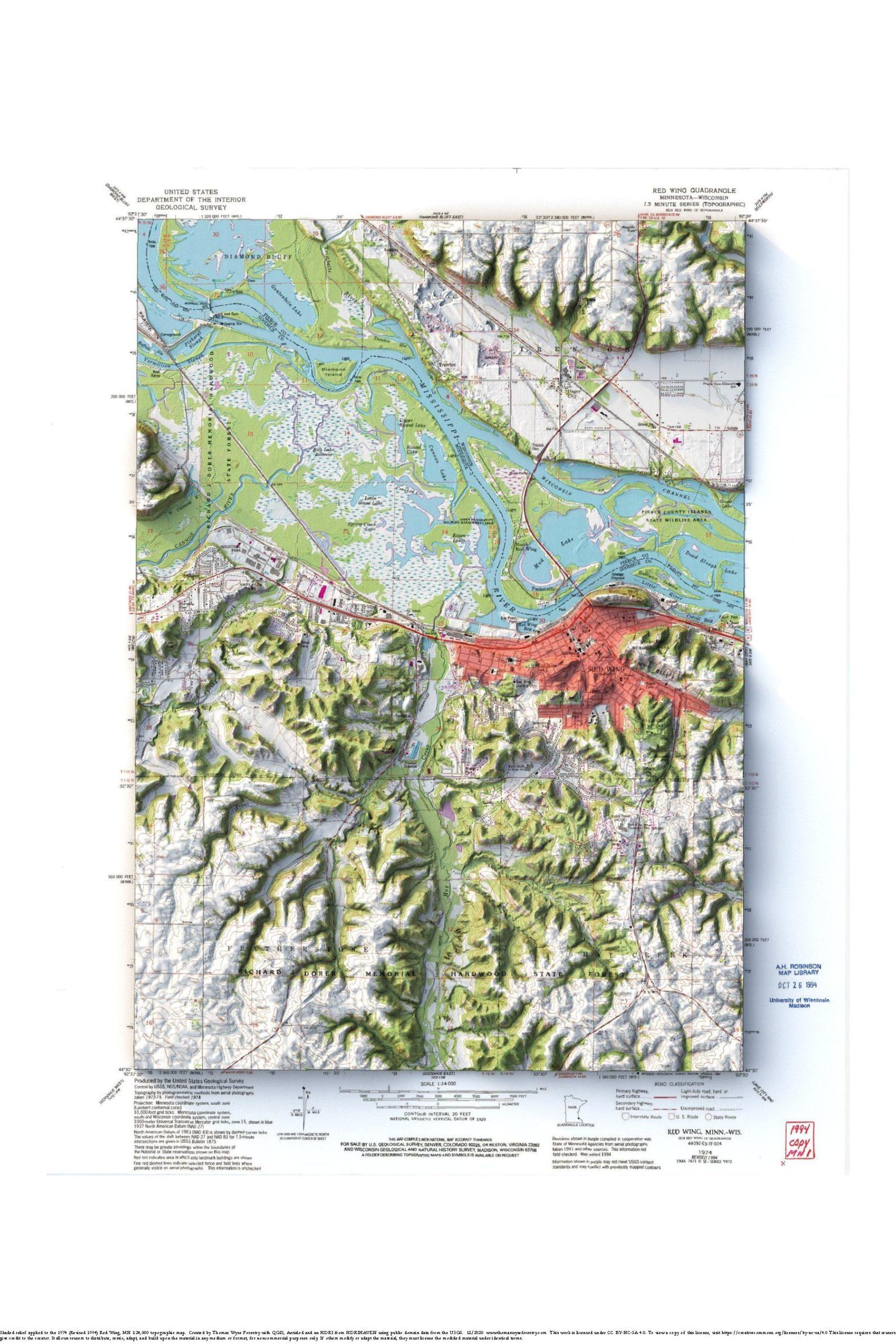
1974 1:24,000 USGS Red Wing topographic maps with shaded relief in 24″x36″ layout
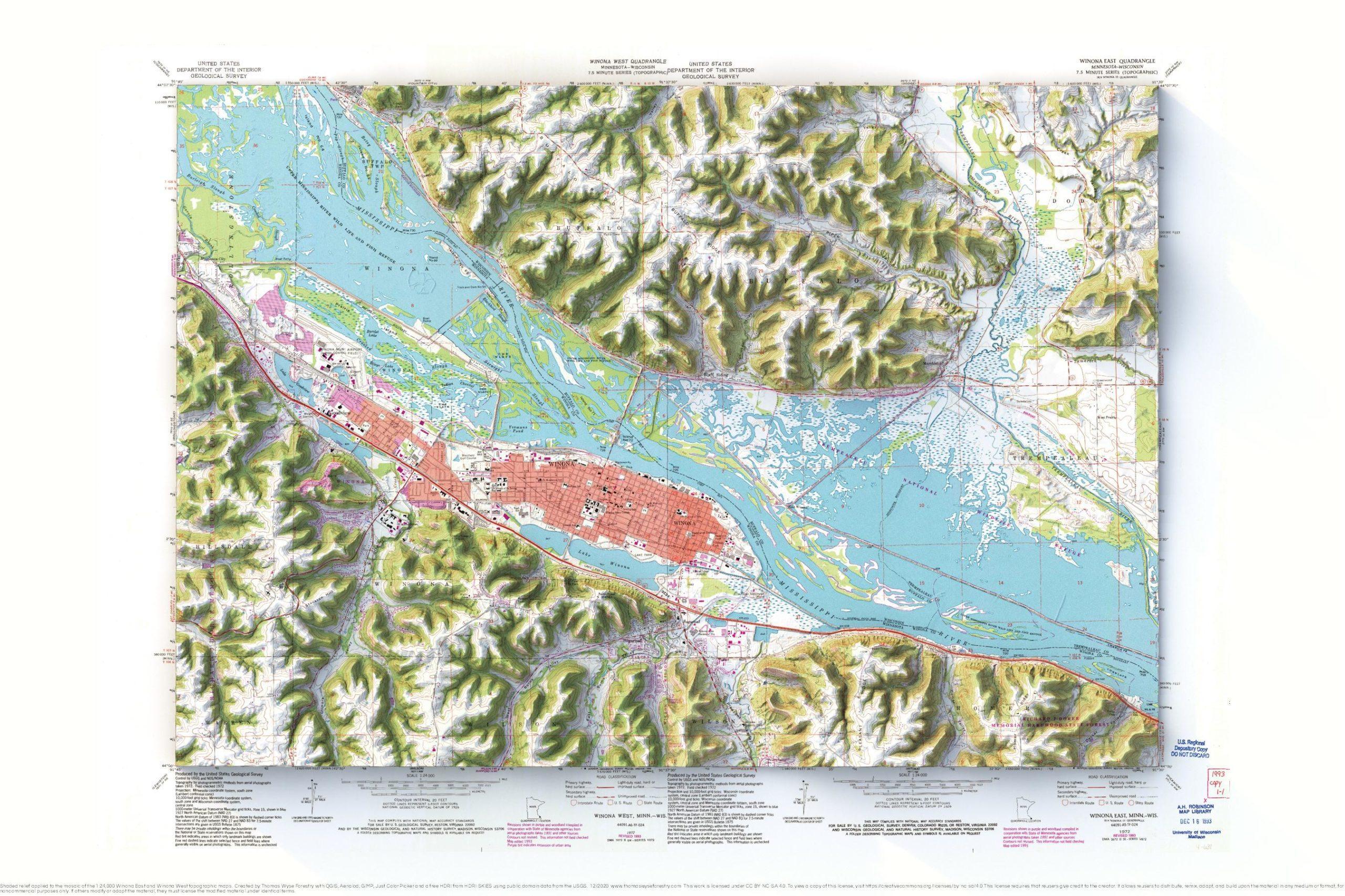
Mosaic of the1972 (Revised 1993) 1:24,000 USGS Winona East and Winona West topographic maps with shaded relief in 24″x36″ layout

1958 1:24,000 USGS Deer Yard Lake topographic map with shaded relief in 24″x36″ layout This map is for my buddy Mike Lind who made this site for me. He and his wife have a cabin near the Cascade River. The bathymetry wasn’t very interesting, so I added a gradient to it to give it a