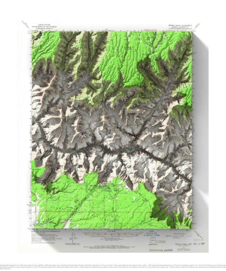
1962 USGS 1:62,500 topographic map with shaded relief in 20″ x 24″ layout.
There was an extreme heat advisory when Andrea and I visited the Grand Canyon. Being youngish and in relatively good shape, we decided to hike down the Kaibab Trail and back up Bright Angel Trail as a day hike. It was reportedly 118 degrees in the inner canyon that day, and it felt like it. I was darned hot by the time we got to Indian Gardens on the way back out. I had heat exhaustion, and threw up right by the sign with the depiction of a person throwing up due to heat exhaustion! Andrea did a good job of not taking a picture of that. I found out later that a medication I was on made it harder for my body to regulate its temperature. It was a great hike, and I wouldn’t do it during an extreme heat event again!
You may notice that there is a funny pattern near the top of the map. The copy of the map that I have access to must have type on the back that came through when the image was scanned.

