
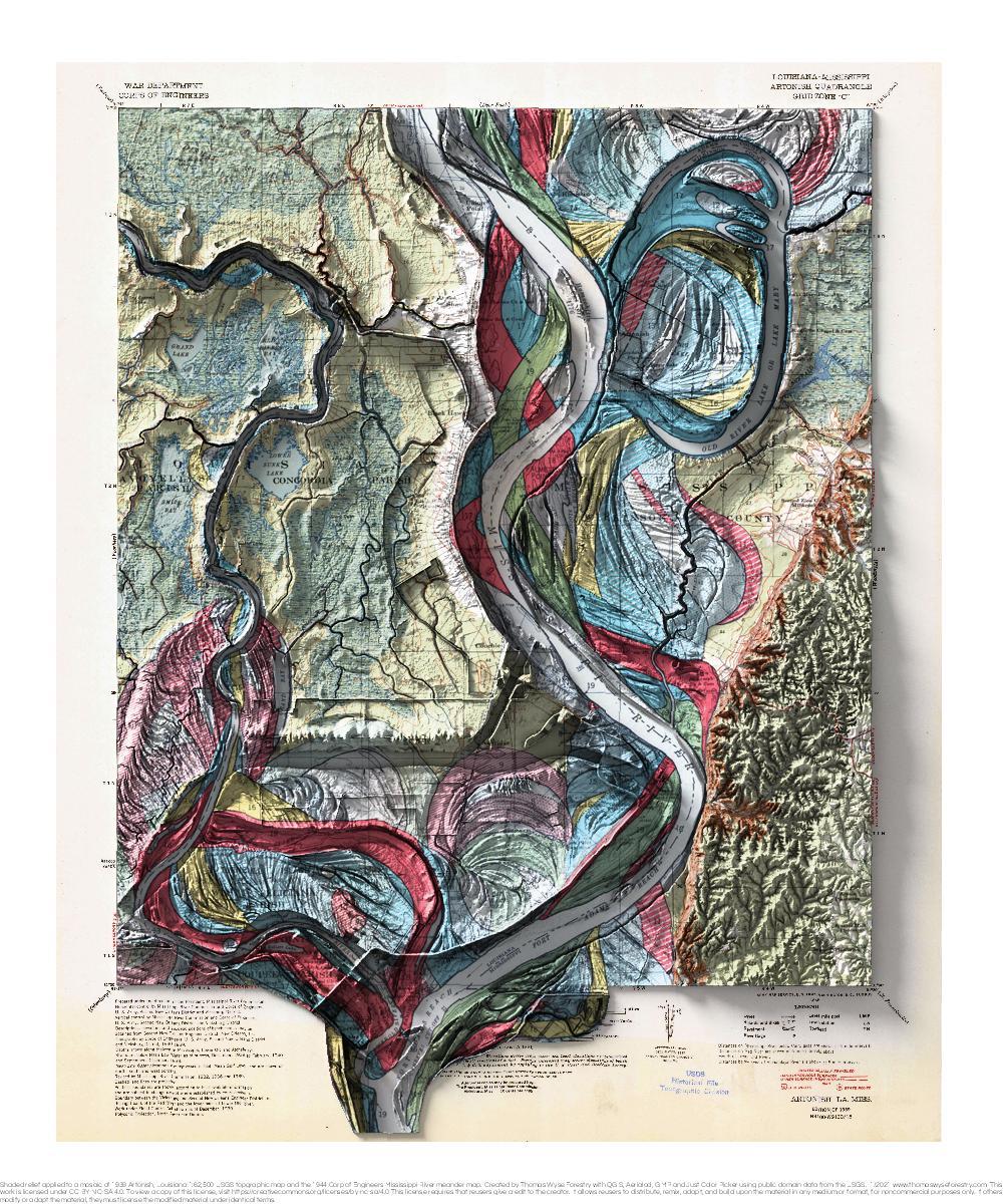
Big Island, Arkansas
1944 Fisk Mississippi River meander map and 1927 USGS 1:62,500 topographic map with shaded relief in 20″ x 24″ layout. This is part of a

1944 Fisk Mississippi River meander map and 1927 USGS 1:62,500 topographic map with shaded relief in 20″ x 24″ layout. This is part of a

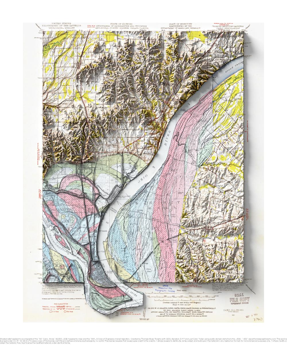
1927 USGS 1:62,500 topographic map with shaded relief in 20″ x 24″ layout. This is part of a series of maps show the major tributaries
1927 USGS 1:62,500 topographic map with shaded relief in 20″ x 24″ layout. This is part of a series of maps show the major tributaries
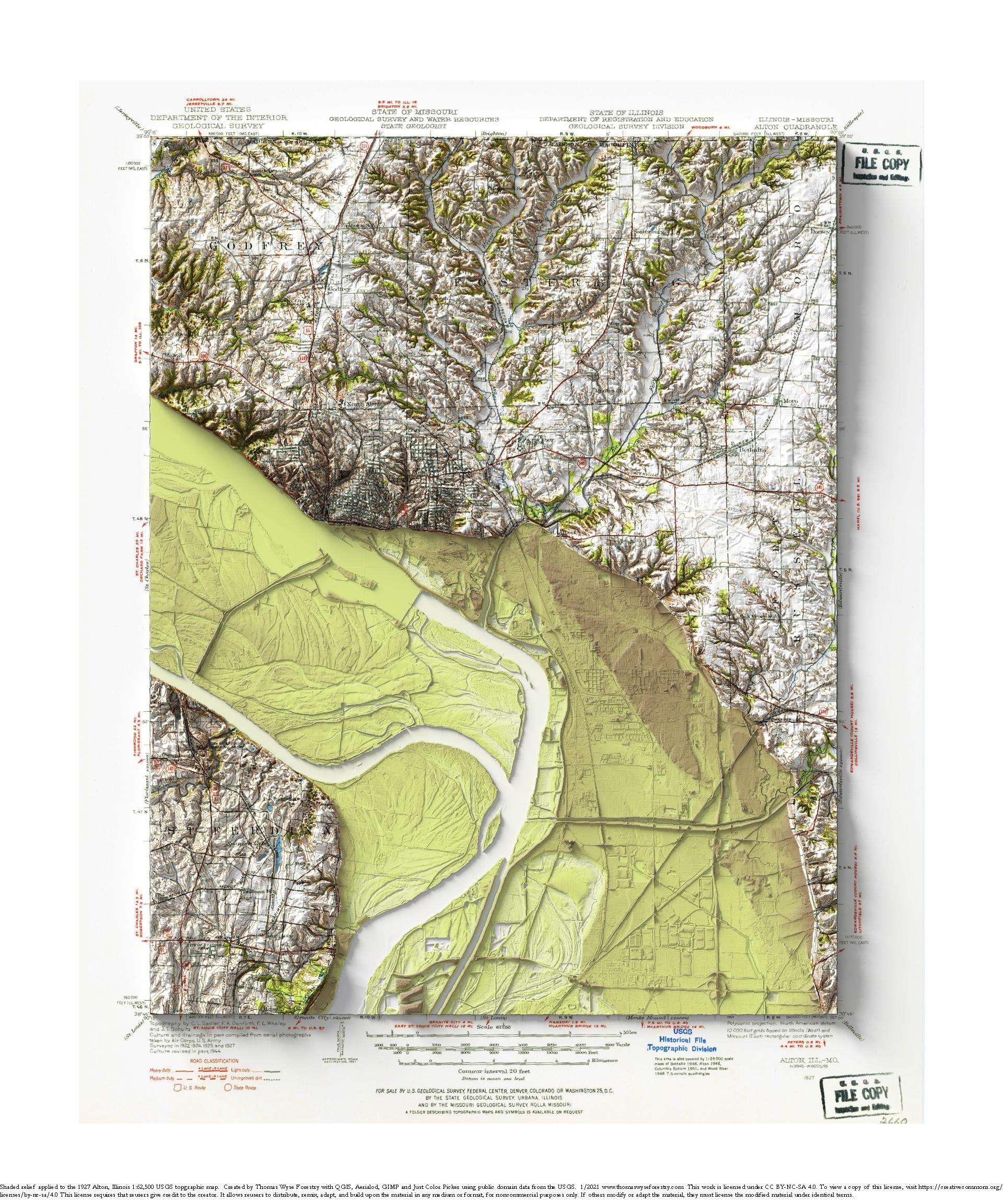
1931 USGS 1:62,500 topographic map with shaded relief in 20″ x 24″ layout. This is part of a series of maps that show the major
1939 USGS 1:62,500 topographic map with shaded relief in 20″ x 24″ layout. This is part of a series of maps that show the major