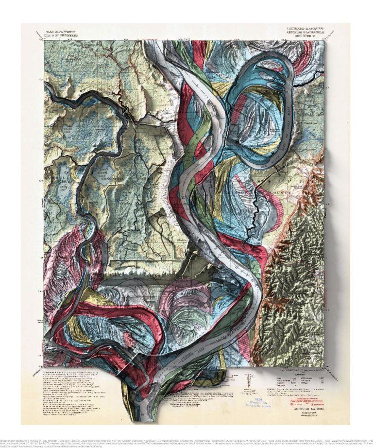
1939 USGS 1:62,500 topographic map with shaded relief in 20″ x 24″ layout.
This is part of a series of maps that show the major tributaries and distributaries of the Mississippi River. This map was made prior when the Lower Old River was closed and a controlled outflow channel was created in 1963. The controlled outflow channel is visible in the contemporary elevation data. There’s a nice diagram of the channel changes over time here.
I somehow missed that the Fisk meander map uses 1:62,500 maps as the background. That made georeferencing the Fisk maps easier, and it also gave me the idea to combine the Fisk maps with the USGS maps. The floodplain elevation is greatly exaggerated, so I used a feature preserving smoothing algorithm to remove some of the small scale variation. The hills in the southeast corner of the map are much less exaggerated than the floodplain. I struggled with the shading in the southeast corner, and it’s still not quite right. Since I’m a sucker for maps that extend into the collar, I added the Old Lower River confluence to the collar.
If you want to see the topo map without the meanders, that’s available with the link below.

