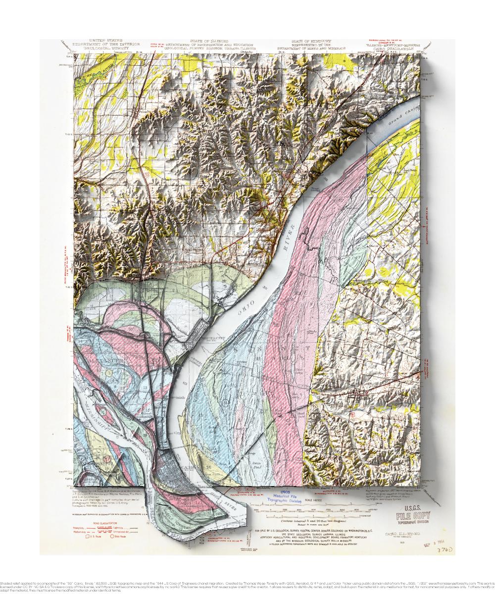
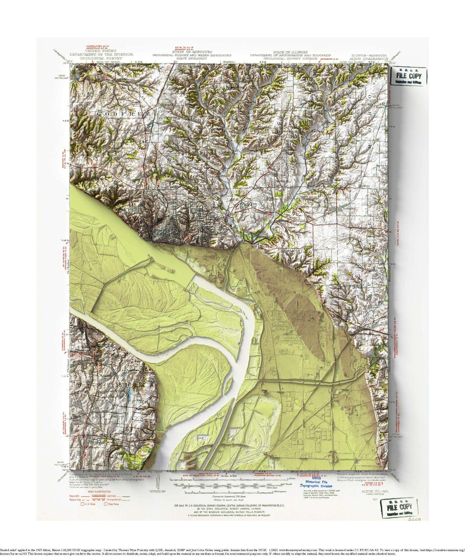
Category: Illinois

Alton, Illinois

1927 USGS 1:62,500 topographic map with shaded relief in 20″ x 24″ layout. This is part of a series of maps show the major tributaries of the Mississippi River. This map depicts of the confluence of the Missouri River. The Illinois River joins the Mississippi River just upstream of the Missouri. I never realized how

Read More »

Cairo, Illinois

1931 USGS 1:62,500 topographic map with shaded relief in 20″ x 24″ layout. This is part of a series of maps that show the major tributaries of the Mississippi River. This map shows the confluence of the Ohio River, and it includes a portion of the 1944 Fisk map of river meanders over time. This

Read More »