
Glacier National Park, Montana
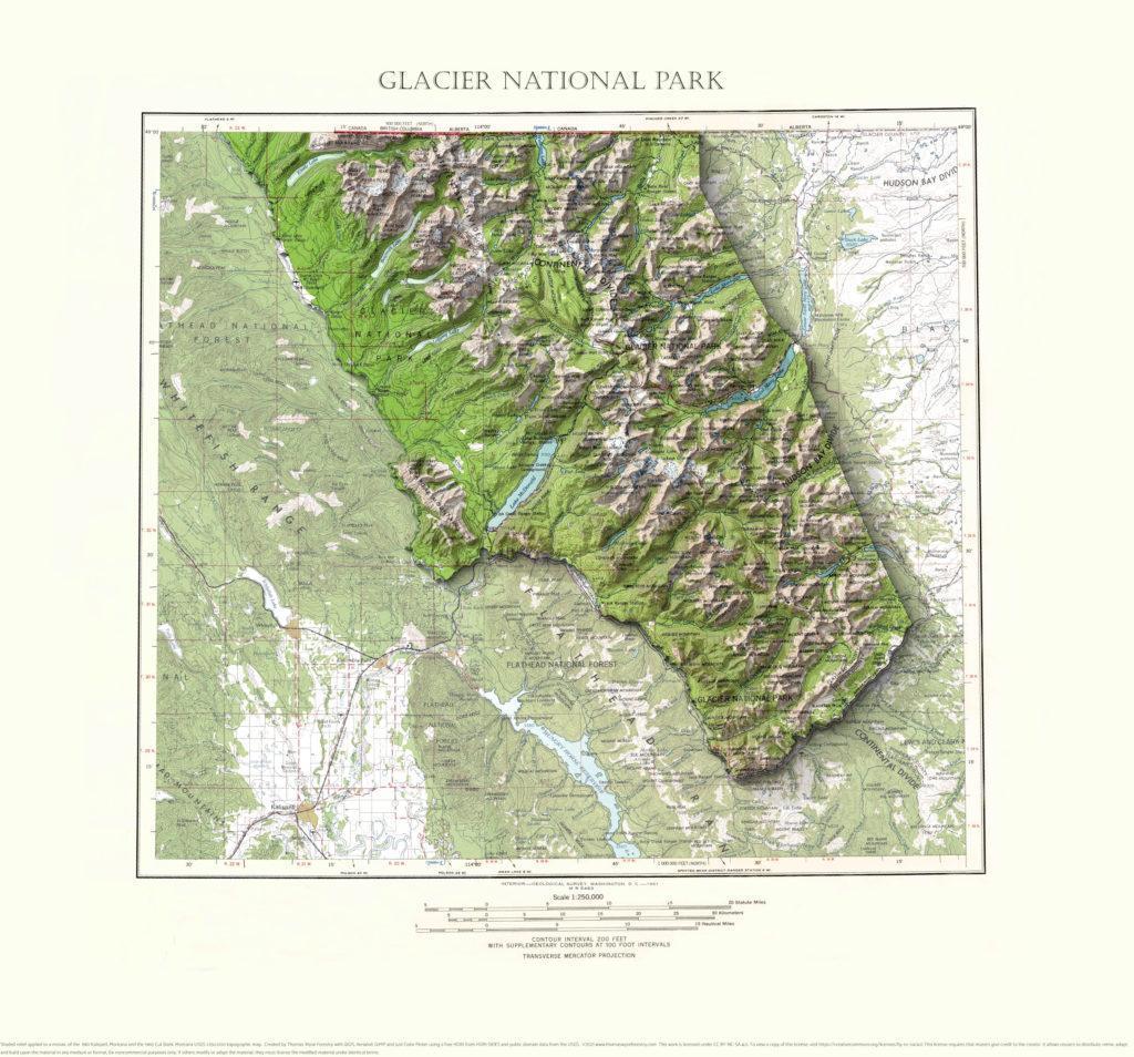
A mosaic of the 1961 Kalispell, Montana and the 1960 Cut Bank Montana 1:250,000 USGS topographic maps with shaded relief highlighting Glacier National Park.
St. Charles, Iowa
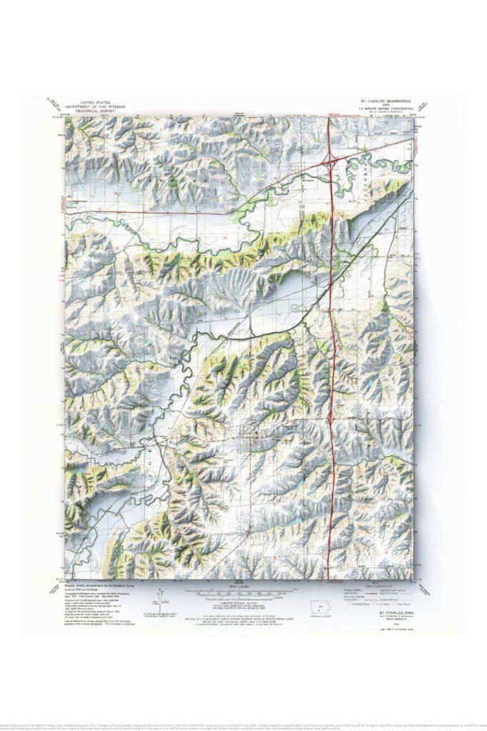
1983 St. Charles, Iowa 1:24,000 map with shaded relief.
Prairie du Chien and Bridgeport, Wisconsin mosaic
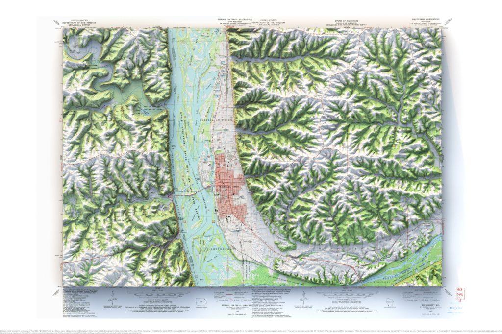
1983 Prairie du Chien, Iowa-Wisconsin and Bridgeport, Wisconsin 1:24,000 map mosaic with shaded relief.
La Crosse, Wisconsin and La Crescent, Minnesota mosaic
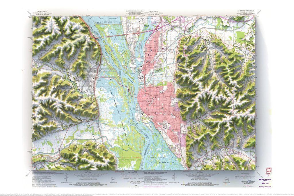
1963 (photorevised 1973) La Crosse and 1973 La Crescent 1:24,000 map with shaded relief.
Indianville, Michigan
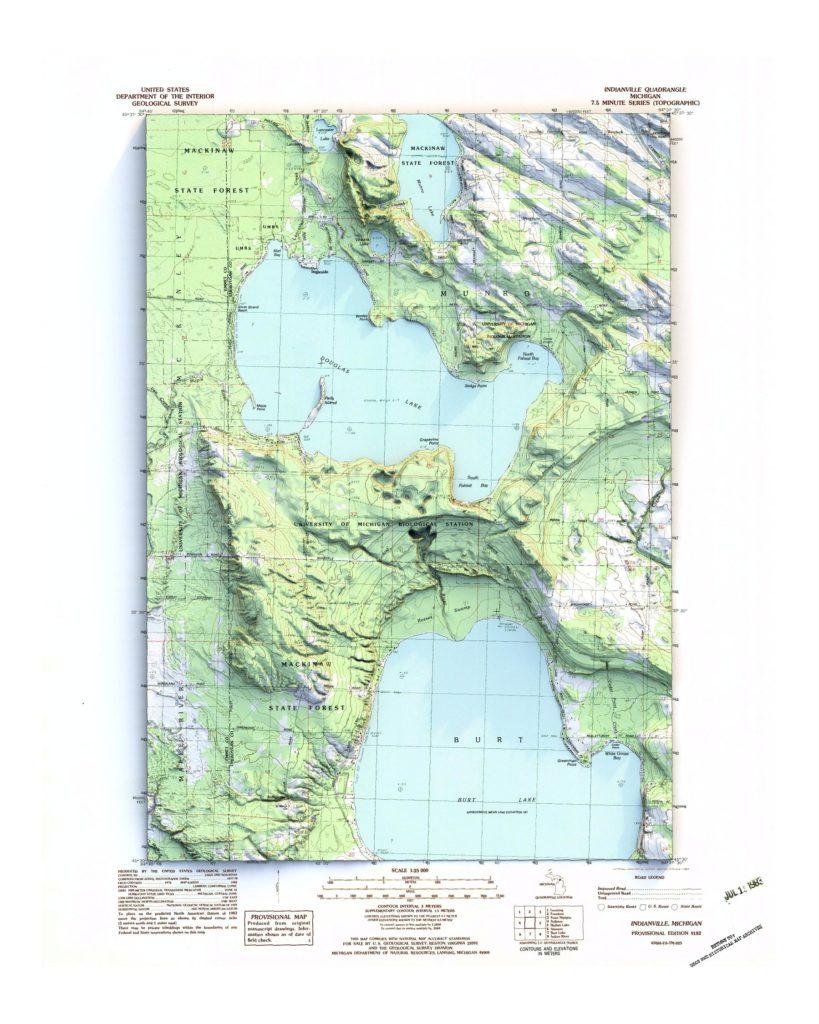
1982 1:25,000 map with shaded relief.
Pleistocene Geology of the Superior Region, Wisconsin
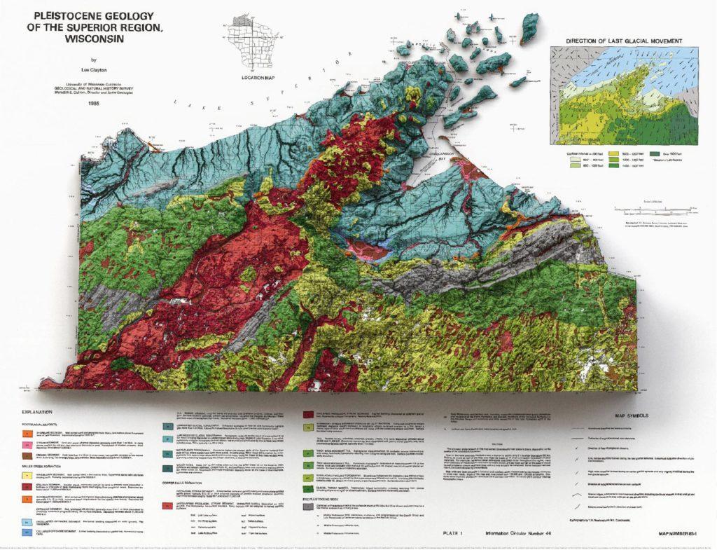
1985 1:250,000 map with shaded relief. This is one of my favorite maps. It was vexingly difficult to show the topography and still allow the map to be readable. It’s more instructive to look at the elevation separately from the map, but then you lose out on the bold colors of the map. Alas.
La Farge, Wisconsin
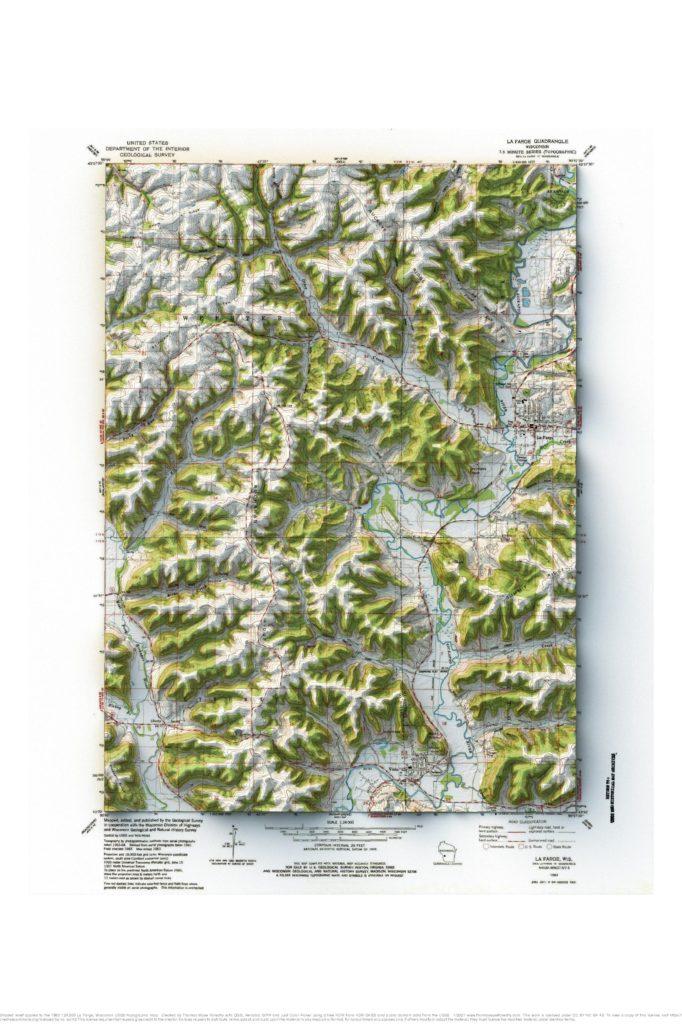
1983 1:24,000 topographic map with shaded relief in 24″ x 36″ layout.
Juneau, Alaska
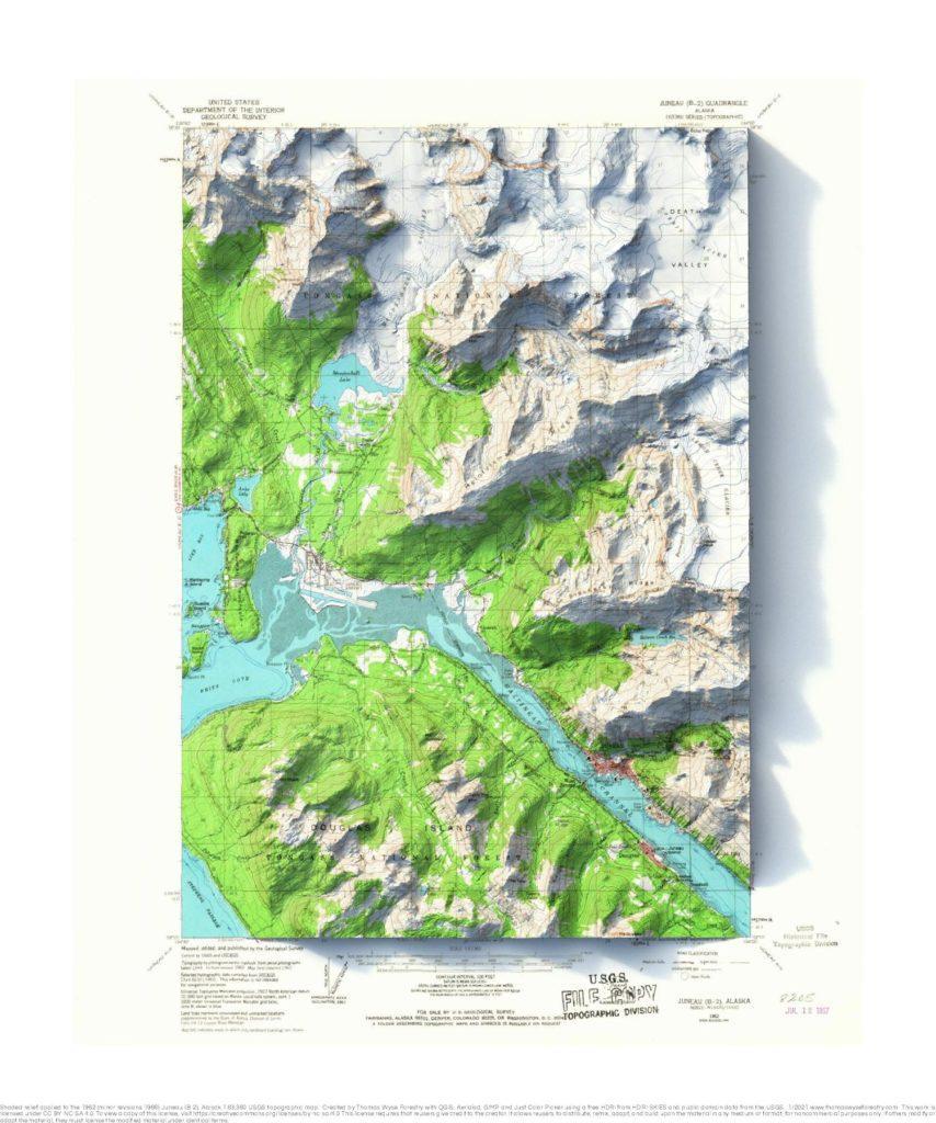
1962 1:63,360 topographic map with shaded relief in 20″ x 24″ layout. A college friend who lives in Juneau called me out of the blue recently. I don’t think I’ve talked to him since about 2002. I made him a map.
Retreat, Wisconsin
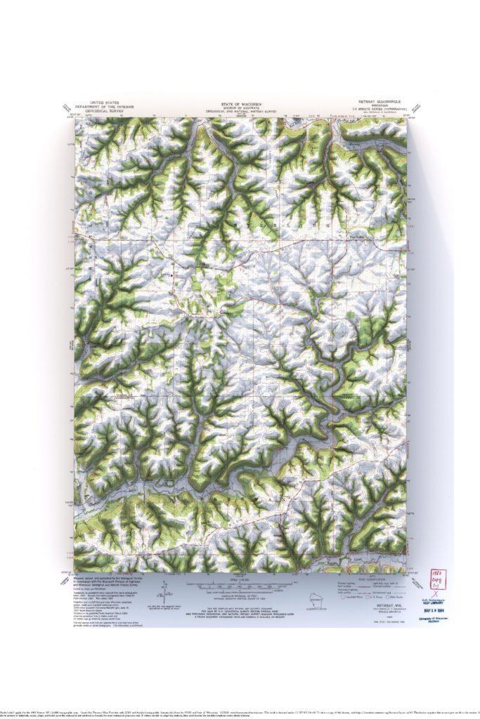
1983 USGS 1:24,000 topographic map with shaded relief in 24″ x 36″ layout.
Longs Peak, Colorado
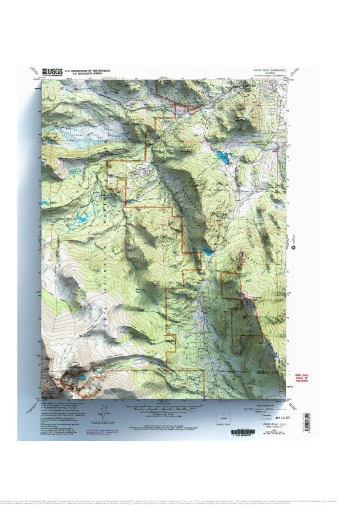
1961 USGS 1:24,000 topographic map with shaded relief in 24″ x 36″ layout. A friend asked me to make this map for him to use as the background for a photo collage of a family vacation. Seems like a fun idea.