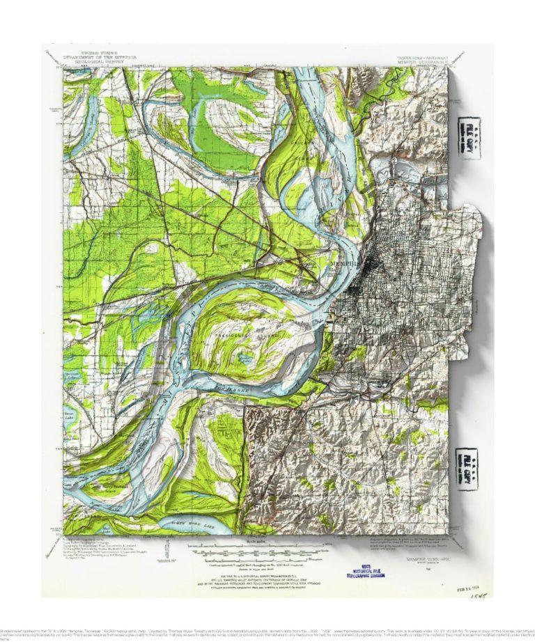
1913 USGS 1:62,500 topographic map with shaded relief in 20″ x 24″ layout.
I don’t have a special connection to Memphis, but I remember a line from a Chris Smither song about Memphis being “high up on a bluff”. I took a look, and sure enough, it is up on a bluff above the Mississippi. I think the 1:62,500 maps of this era are the best the USGS produced from an aesthetic perspective, and I really like that a portion of the map extends into the collar.

