
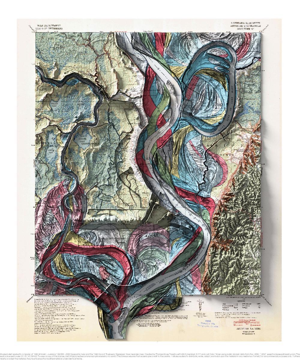
Artonish, Louisiana
1939 USGS 1:62,500 topographic map with shaded relief in 20″ x 24″ layout. This is part of a series of maps that show the major tributaries and distributaries of the Mississippi River. This map was made prior when the Lower Old River was closed and a controlled outflow channel was created in 1963. The controlled