
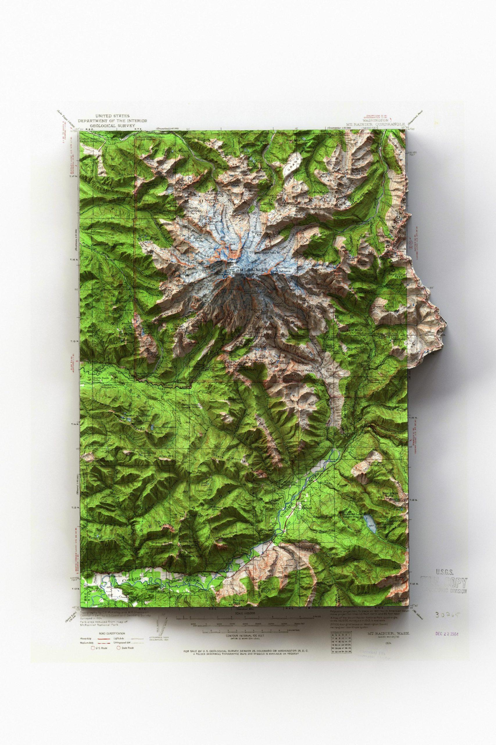
1924 1:125,000 USGS Mt. Rainier, Washington topographic map with shaded relief in 24″x36″ layout
I made this map for my wife for Christmas. She loves Mt. Rainier. I really like maps that extend into the collar. It makes it more interesting. I used an HDRI that has two light directions for this map, and I really like how it turned out. I also let the shadow run to the edge of the layout instead of cutting it off at the edge of the map collar. It’s a little extra work, but I think it looks a lot better, especially if the map isn’t matted and framed.