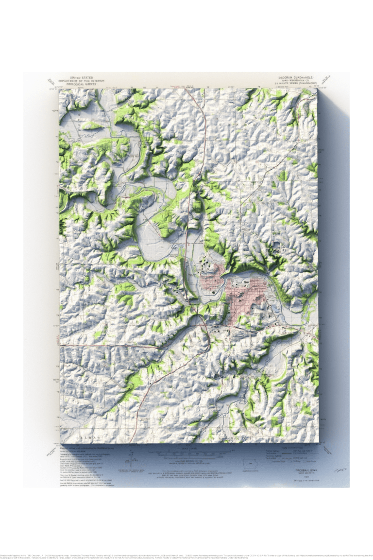
1983 1:24,000 USGS topographic map of Decorah, Iowa with shaded relief in 24″x36″ layout
I grew up in Decorah, and I learned a lot when I made this map. The hill at Greentree Corners is the inside of an old meander. Luther College is on an abandoned meander that’s now been isolated by continued downcutting. I also didn’t realize just how much Dry Run shaped the topography of the town.

